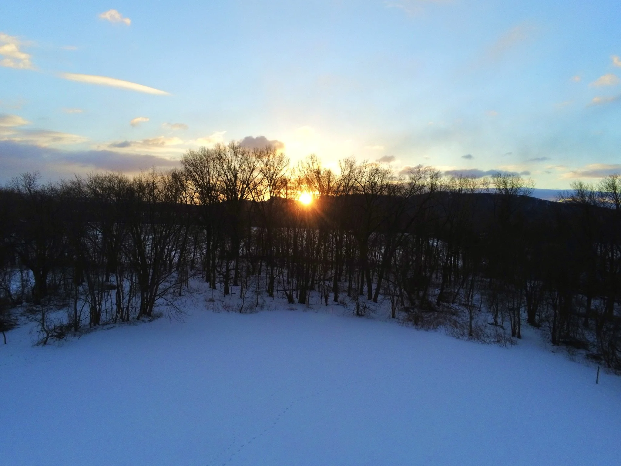
Purpose Driven Precision.
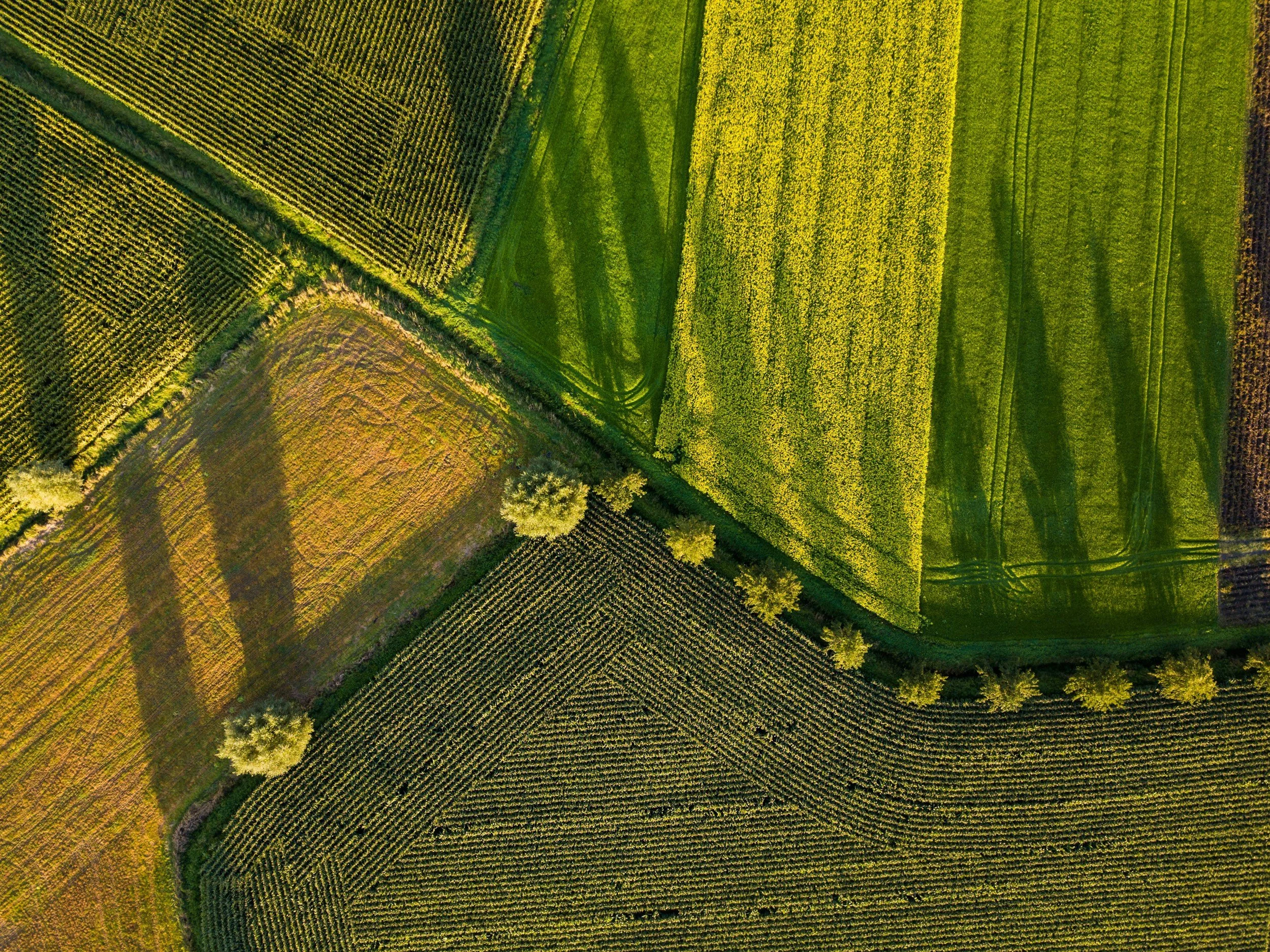
Fully insured and FAA-certified, Q Skies blends drone mapping with stunning aerial media. From crop health and solar assessments to community storytelling, we deliver both technical precision and creative vision—all from a team that cares about equity and empowerment.
Our Services
-
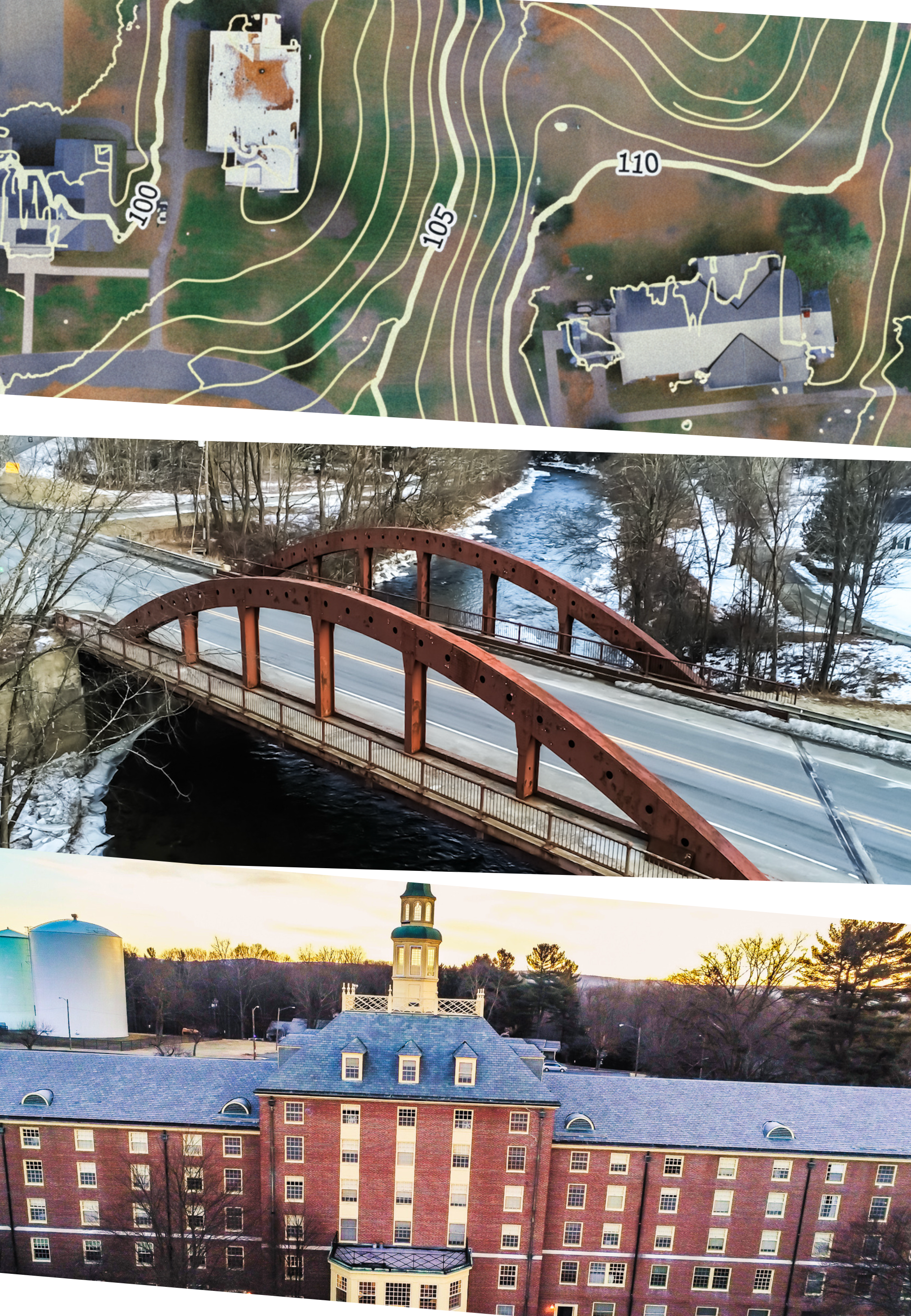
Revolutionize your project with cutting-edge drone mapping services that deliver precise, high-resolution aerial data faster than traditional methods. Our innovative drone technology captures detailed topographic maps, 3D models, and orthomosaic images, empowering industries such as construction, agriculture, surveying, and environmental management. Experience unparalleled accuracy, cost-effectiveness, and real-time insights that streamline decision-making and elevate project outcomes. Embrace the future of geospatial intelligence with drone mapping solutions designed to meet the demands of tomorrow.
-
Capture precise aerial data quickly and efficiently to create accurate, high-resolution 3D maps and models. For construction, this technology enhances property visualization, site planning, and building progress by providing immersive, detailed perspectives. In solar installs, drone 3D modeling ensures optimal panel placement, terrain analysis, and project monitoring, reducing risks and boosting installation accuracy. Unlock new levels of insight and precision with innovative drone mapping solutions.
-
Elevate your real estate listings or Airbnb showcases with stunning drone media that captures every angle in breathtaking detail. Our cutting-edge aerial photography and videography provide immersive perspectives that highlight property features, scenic surroundings, and unforgettable moments. Transform standard visuals into dynamic storytelling tools that engage your audience and set your listings or events apart. Experience innovation in every frame with drone media tailored to showcase your vision from the sky.
Book a free consultation
At Q Skies, our mission is to make land, projects, and stories visible in new ways. In your free session, we’ll talk about your goals and how aerial maps, 3D models, and media can bring clarity and connection to your work.
Contact Us
Interested in working together? Fill out some info and we will be in touch shortly. We can’t wait to hear from you!